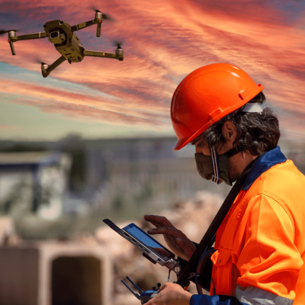
The Role of Drones in Dholera’s Maintenance
Dholera, an upcoming smart city in Gujarat, is at the forefront of modern urban development. One of the key elements contributing to its cutting-edge status is using drones for various maintenance tasks. Drones, or unmanned aerial vehicles (UAVs), have become increasingly important in urban management and maintenance, offering a unique vantage point that is both cost-effective and efficient.
The Emergence of Drone Technology in Urban Maintenance
The application of drone technology in urban maintenance is a relatively new concept that has gained momentum over the past decade. Drones are equipped with cameras, sensors, and sometimes even robotic arms to perform a range of tasks that were previously done manually or not at all. In Dholera, drones are used for infrastructure inspection, surveillance, and environmental monitoring, among other tasks. During the planning and construction phases, drones provided high-resolution aerial imagery and topographic data, which were crucial for creating accurate maps and 3D models of the terrain. These models helped urban planners design infrastructure, optimize land use, and ensure that the development adhered to environmental and regulatory standards.
Drones facilitated the monitoring of construction progress by capturing real-time images and videos, allowing project managers to track developments, identify potential issues, and make informed decisions. This capability significantly reduced delays and ensured that the project stayed on schedule.
Infrastructure Inspection
One of the primary uses of drones in Dholera is for the inspection of infrastructure. Drones can easily access hard-to-reach areas such as the tops of high-rise buildings, bridges, and utility towers. They provide high-resolution images and videos that help in identifying potential issues like structural damage, wear and tear, or corrosion. This proactive approach to maintenance helps in preventing accidents and ensuring the longevity of the city’s infrastructure. Traditional methods of inspection, such as manual surveys or the use of helicopters, are often time-consuming, expensive, and sometimes hazardous. Drones offer a safer, more efficient, and cost-effective alternative.
Bridge and Roadway Inspections
Drones equipped with high-resolution cameras and sensors are used to inspect bridges and roadways for structural integrity and signs of wear and tear. These inspections can detect cracks, corrosion, and other defects that may not be visible from the ground. By regularly monitoring these structures, maintenance teams can identify and address issues before they escalate, ensuring the safety and longevity of the infrastructure.
Power Lines and Utilities
Maintaining power lines and utilities is another critical application of drones in Dholera. Drones can quickly survey extensive networks of power lines, pipelines, and water systems, identifying faults, leaks, or other issues. Equipped with thermal imaging cameras, drones can detect overheating in electrical components, which is often a precursor to failures. This proactive approach to maintenance helps prevent outages and ensures the continuous delivery of essential services.
Surveillance and Security
Dholera’s security is enhanced by the use of drones for surveillance purposes. They can cover large areas quickly and provide real-time footage to security personnel. Drones can be deployed to monitor public spaces, and traffic conditions, and even to track suspicious activities. This not only helps in maintaining law and order but also ensures the safety of the residents.
Environmental Monitoring
Environmental conservation is a critical aspect of Dholera’s sustainability goals. Drones play a significant role in monitoring environmental parameters such as air quality, water quality, and vegetation health. They can collect data from various sensors and transmit it to the relevant authorities for analysis. This helps in making informed decisions regarding environmental policies and actions. Dholera’s commitment to sustainability and environmental conservation is supported by the use of drones for environmental monitoring. Drones are capable of collecting data on air quality, water quality, and vegetation health, providing valuable insights into the city’s environmental conditions.
Air Quality Monitoring
Air pollution is a significant concern in urban areas, and Dholera is no exception. Drones equipped with air quality sensors can fly over different parts of the city, collecting data on pollutants such as particulate matter (PM2.5 and PM10), nitrogen dioxide (NO2), and sulfur dioxide (SO2). This data helps authorities monitor air quality in real time, identify pollution sources, and implement measures to improve air quality.
Water Resource Management
Drones play a crucial role in managing Dholera’s water resources. They can survey water bodies, such as lakes and rivers, to monitor water levels, detect contamination, and assess the health of aquatic ecosystems. By providing accurate and timely data, drones enable authorities to manage water resources more effectively, ensuring a sustainable water supply for the city’s residents and industries.
Disaster Management and Response
In the event of natural disasters such as floods or earthquakes, drones can be invaluable tools for damage assessment and response. They can be quickly deployed to assess the affected areas, identify the extent of the damage, and help in planning rescue and relief operations. Drones can also be used to deliver emergency supplies to areas that are otherwise inaccessible.
Flood Management
Flooding can cause significant damage to urban infrastructure and disrupt daily life. Drones can be deployed during and after floods to assess the extent of the damage, monitor water levels, and identify areas that need immediate attention. Equipped with LiDAR (Light Detection and Ranging) technology, drones can create detailed elevation maps, helping authorities predict flood-prone areas and implement preventive measures.
Firefighting and Rescue Operations
In firefighting and rescue operations, drones offer a bird’s-eye view of the affected area, providing critical information that ground teams might not be able to obtain. Drones equipped with thermal imaging cameras can detect hotspots and monitor the spread of fires, enabling firefighters to allocate resources more effectively. Additionally, drones can deliver emergency supplies and equipment to areas that are difficult to access, enhancing the overall efficiency of rescue operations.
Challenges and Future Prospects
While the benefits of using drones in urban maintenance are numerous, some challenges need to be addressed. Privacy concerns, regulatory hurdles, and the need for skilled operators are some of the issues that Dholera and other smart cities face. However, as technology advances and regulations evolve, the role of drones in urban maintenance is expected to grow even further.
Dholera’s use of drones is a testament to the city’s commitment to innovation and efficiency. As drone technology continues to develop, its applications in urban maintenance are likely to expand, making cities like Dholera even smarter and more sustainable.


