
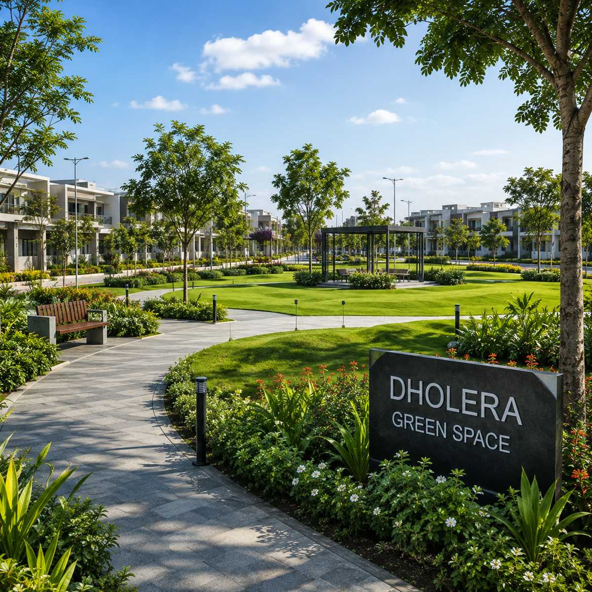
Dholera Green Space
The Dholera Special Investment Region (DSIR) is planned as India’s first greenfield smart city, designed to support industrial growth, civic living, and social infrastructure. Within the city’s urban framework, the Dholera Public Facilities zone serves as the central social backbone.
Designed to serve incoming populations across dedicated industrial zones and surrounding residential plots, this specialized zone reserves land for healthcare, schools, civic administrative offices, open parks, and community facilities. The framework accommodates both Dholera institutional plots and civic infrastructure plots to ensure essential community services are built alongside industrial expansion.
Overview of Dholera Public Facilities and TP Schemes
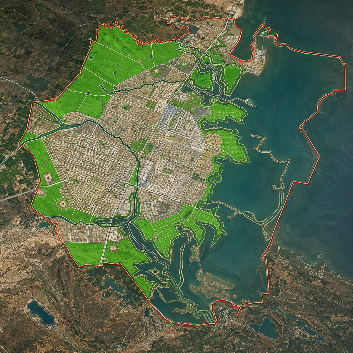
The master plan for DSIR covers 920 square kilometers in western india along the Gulf of Khambhat in Gujarat, India. Development is executed by the government of india and Gujarat state authorities under a structured Town Planning (TP) framework.
Unlike traditional cities that experience unorganized expansion, the region uses smart urban planning to separate industrial, commercial, and residential zones while placing Dholera Public Facilities within accessible walking or transit distance.
In the activation area (TP1 and TP2), wide roads, underground utilities, and pre-laid ICT networks ensure that facilities constructed in the Dholera public facilities zone obtain easy access to basic utility connections. Additional details on zoning layouts are available on the Dholera SIR Master Plan page.
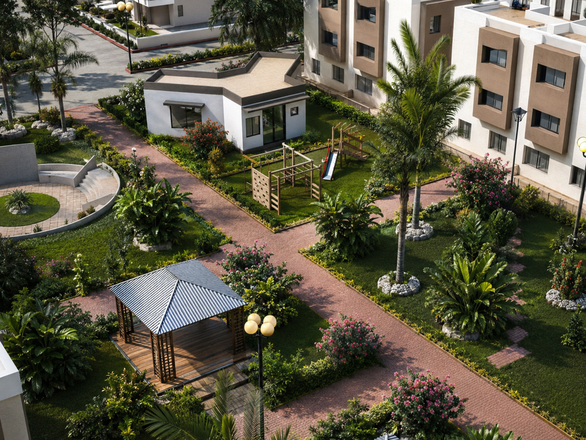
Core Social Infrastructure and Healthcare in Gujarat
To support economic growth and maintain a baseline quality of life, the authority prioritizes medical and educational facilities across the investment region.
Modern Hospitals and Healthcare Amenities
Healthcare planning includes a multi-tiered network. The Public Facilities sector reserves land for multi-specialty hospitals, primary care centers, and local dispensaries. Emergency care sites positioned near major roads facilitate transit across industrial zones, supported by SCADA-monitored utility links.
Educational Schools and Colleges in DSIR
Under the smart city master plan, land is reserved for primary, secondary, and technical schools. Vocational training centers and skill institutes are planned to support nearby business activities, strengthening DSIR healthcare and education coverage across residential and industrial sectors.
Information regarding nearby residential sectors is listed on the Dholera Residential Plots page.
Connectivity to Ahmedabad, Surat, and DMIC
The region is located along the Delhi-Mumbai Industrial Corridor (DMIC), positioned between major urban centers in Gujarat including Ahmedabad, Surat, and Mumbai.
Transport links include a 4-lane expressway spanning 100 km or 100 kilometers to connect the smart city with Ahmedabad. The under-construction Dholera international airport is designed for regional passenger and cargo logistics, while metro lines along the DMIC alignment connect routes toward delhi, mumbai, and surat.
Via expressways, rail corridors, and airport access, the area provides regional mobility for workers, residents, and visitors. Transit details are outlined on the Dholera Expressway Connectivity page.
Land Allocation in Hectares Across DSIR
Land distribution covers thousands of hectares across 920 square kilometers, categorizing space into institutional plots, industrial hub areas, commercial spaces, and green belts.
Smart Utilities and Sustainability Goals
The master plan incorporates sustainable development principles, using advanced technology and advanced infrastructure to manage resources efficiently.
Utility cables and pipelines are placed within underground utility corridors to keep road surfaces clear. Solar power from the Dholera solar park contributes toward renewable energy targets for civic buildings, while dual pipeline networks separate drinking water from recycled water.
Commercial land details are available on the Dholera Commercial Plots guide.
How Does Town Planning Support Dholera Public Facilities?
Development follows a Micro-Level Town Planning Scheme (TP scheme). Land is pooled, equipped with modern infrastructure, and connected to road networks and green spaces within Dholera Public Facilities sections.
Institutional plots are planned with utility hookups at the plot boundary, adhering to standard authority guidelines that permit up to a 1.80 Floor Space Index (FSI).
Infrastructure, Water, and Renewable Energy
Plots in the planned smart city receive government support through major infrastructure projects, including centralized water management and power grids. Progress in early phases is documented on the DSIR Activation Area page.
Public Transport, Metro, and Airport Access
Civic plots border designated transit routes, including planned BRTS lanes and metro stations connecting to the airport. Non-motorized pathways connect residential areas to community facilities.
Green Belts, Recreation, and Sports Complexes
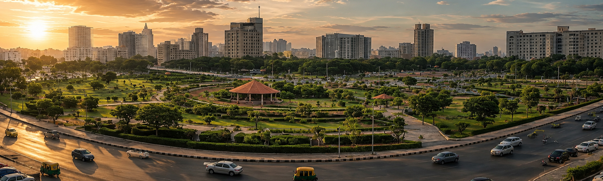
To support community recreation, the plan reserves land for public parks, civic plazas, and open sports complexes. Green buffer zones are maintained along natural water channels.
Industrial zoning layouts can be reviewed on the Dholera Industrial Zone page.
Traditional Cities vs. Dholera Smart City
Comparing the Dholera greenfield smart city with older urban areas highlights structural differences in infrastructure. Older cities often feature surface utility cutting and overhead wires, whereas this project buries utility networks underground. Structured town planning aims to provide 10-minute access to public amenities, backed by solar power integration.
Upcoming Public Amenities Built by 2026
Civic projects in these sectors scheduled for development by 2026 include
Administrative Hub: Expanded municipal offices for civic administrative functions and real estate filings.
Regional Hospital Site: Designated healthcare parcel for workforce and local medical care.
School Facilities: K-12 educational campuses allocated within TP1 residential sectors.
Metro Terminal Node: Transit station linking utility zones, civic centers, and airport lines.
Community Recreation Ground: Multipurpose civic space for sports and local events.
FAQs
What public facilities are currently available in Dholera Smart City?
Currently, operational infrastructure includes administrative offices (ABCD Building), fire management stations, water treatment plants, power substations, central command facilities, and paved roads with buried utility corridors.
How does the public facilities zone in Dholera differ from other city zones?
Unlike dedicated industrial sectors or residential blocks, the zone is reserved for non-commercial social infrastructure such as hospitals, schools, police stations, and municipal buildings.
How do I buy plots in Dholera Smart City?
To buy plots in Dholera Smart City, research available properties through official channels or real estate agents. Ensure you understand zoning regulations and investment potential. Once you find a suitable plot, follow the purchasing process, which typically includes negotiations, documentation, and payment procedures to secure your investment.