

Dholera Plot Size: Land Measurements Explained
Buying land requires patience, but evaluating an emerging greenfield smart city demands an extra level of care. You often see maps filled with clean grids, arterial corridors, and ambitious master plans. Yet, when you stand in front of open ground with survey markers in the distance, those neat digital lines can feel abstract.
When evaluating any Dholera plot size, you need to understand how paper measurements translate to physical ground. Local unit conversions, layout deductions, and town planning standards all determine what you can actually construct. At Mirrikh, we focus on ground reality over marketing hype. Here is how land measurements work, how boundaries are checked, and how to protect your investment decision.
Understanding Dholera Plot Size Realities
When assessing real estate inside the Dholera Special Investment Region, you deal with two distinct levels of planning: the macro master plan and your micro layout plan.
The wider Dholera SIR spans hundreds of square kilometers. It represents a large planned development region spearheaded by the Government of Gujarat and backed by the Government of India. Selecting a well-defined Dholera plot size narrows your focus from that macro vision to an individual land parcel.
The current status of any individual holding depends on its specific location within the wider urban development grid. A parcel is never an isolated asset; its real usability depends on infrastructure development, utility trunk lines, and legally recorded road connectivity.
What is the minimum plot size available in Dholera?
The minimum plot size available in Dholera typically starts around 100 to 150 square yards for residential land parcels within planned layouts. Depending on specific developer zoning and town planning rules, entry-level sizes offer clear demarcations suitable for private development or staged construction.
Common Options and Dimensions
Layouts across the Dholera region offer varying dimensions. Every Dholera plot size on offer reflects distinct architectural potential, organized to suit diverse budgets and end-use goals.
What plot sizes are commonly offered for sale in Dholera? Private residential schemes generally provide parcels ranging from entry-level footprints up to expansive multi-family options. While industrial units require massive acreage, private buyers usually encounter options between 100 and 500 square yards.
Standard Sizes and Formats
Are there standard plot size options like 120, 300, or 500 square yards in Dholera? Yes, layout designers generally follow common industry formats:
- 120 to 150 sq. yards: Accessible entry points designed for compact private builds.
- 200 to 250 sq. yards: Practical options providing adequate frontage for standalone homes with parking.
- 300 to 500 sq. yards: Larger footprints allowing greater architectural flexibility and garden setbacks.
Square Yards to Feet Conversion
In Gujarat, land discussions almost universally happen in square yards (locally called gaj). However, building plans, architectural drawings, and construction contracts rely on square feet.
Evaluating your Dholera plot size in both square yards and feet prevents boundary surprises:
- 1 Square Yard = 9 Square Feet
- 100 sq. yards = 900 sq. ft.
- 150 sq. yards = 1,350 sq. ft.
- 200 sq. yards = 1,800 square feet
- 300 sq. yards = 2,700 sq. ft.
- 500 sq. yards = 4,500 sq. ft.
How many square feet are in a 200 sq yard plot? The conversion yields exactly 1,800 square feet. Note that this figure represents your gross boundary, not your internal carpet area after applying mandatory municipal building setbacks.
Factors Driving Land Pricing
How does plot size affect the price of land in Dholera? How does a chosen Dholera plot size impact your overall land budget? Sizing influences land pricing through layout efficiency and capital entry points.
Smaller parcels often carry a marginally higher per-yard land price because internal access roads and green reserves consume layout space. A larger land parcel may feature a lower unit rate, though the overall plot price requires higher capital.
Key factors that drive valuation include:
- Frontage ratio: Wide frontages enjoy higher market preference than narrow holdings.
- Major corridors: Proximity to the Dholera Expressway and planned MRTS connectivity.
- Master zoning: The designated land use specified by authorities.
Rather than relying on speculation, assess how property details and execution timelines influence long-term appreciation potential.

Road Access and Connectivity
A site without legal, physical road access offers little utility. Within Dholera Smart City, trunk expressways handle major movement, but local roads dictate site access.
The region’s connectivity projects, including freight networks and logistics connectivity, support regional transport. However, your practical access depends on the internal street connecting your gate to the main sector spine. Always verify whether your site faces a 12-meter or 18-meter internal roadway.
Influence of Town Planning
Dholera uses systematic TP scheme (Town Planning Scheme) divisions. Under this planning framework, land pooling allocates clear access, public utility paths, and proper reservations.
The Gujarat Infrastructure Development Board created structural master policies, and the relevant development authority administers approvals. This planned development region minimizes the unorganized sprawl seen around unplanned suburbs.
Zoning Differences and Allocations
Do different zones within Dholera offer different plot sizes? Yes. The master plan categorizes land across residential, commercial, industrial, high-access corridors, and recreation areas.
Industrial sectors allocate large parcels for factories, logistics warehouses, and assembly centers. Compact residential layouts belong exclusively to housing zones. Confirm the land category early; you cannot construct private housing inside an industrial allotment regardless of the parcel’s dimensions.
Development Opportunities by Sector
Does having the same plot size mean equal development opportunities in Dholera? Not necessarily. Two holdings with identical dimensions can offer different practical values based on location factors:
- Permissible FSI: Sites facing wider roads often receive higher floor-space permissions under planning regulations.
- Setbacks: Mandatory front, side, and rear margins limit usable construction footprints on narrow frontages.
- Utility Readiness: Parcels inside the activation area near the ABCD building benefit from early infrastructure work that is operational today, whereas outer zones await progressive utility extensions.
Sustained growth relies on genuine residential demand, which follows operational services rather than raw acreage.

Verifying Dholera Plot Measurement
Sanctioned blueprints must match actual boundary stakes on the ground. Executing a precise Dholera plot measurement on site requires combining sanctioned blueprints with physical boundary pegs.
How to verify the dimensions of a Dholera parcel:
- Identify village records, TP scheme numbers, and official survey numbers on the layout plan.
- Cross-reference boundary lines directly against sanctioned master drawings.
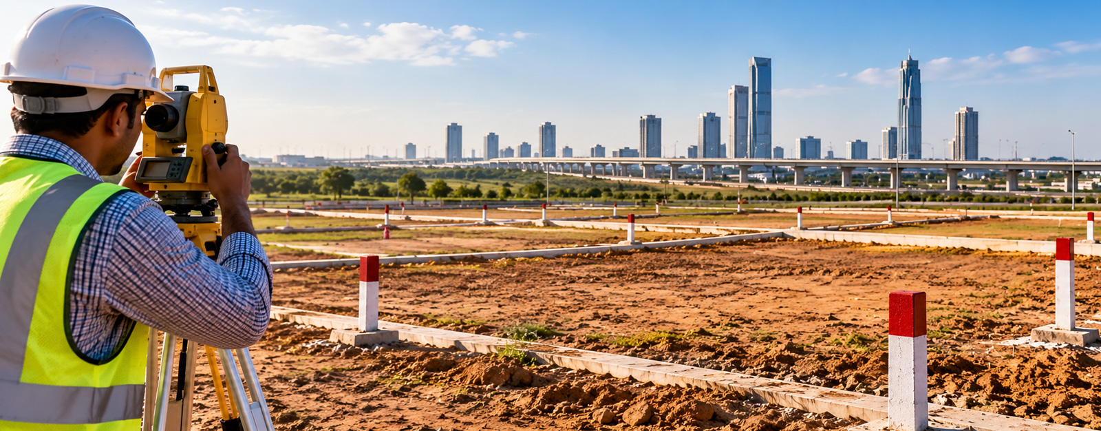
- Appoint a qualified surveyor to execute digital total-station measurements.
- Verify physical road widths fronting the entrance.
- Inspect boundary pegs and corner stones to ensure they remain undisturbed.
Examining Layout Plan Details
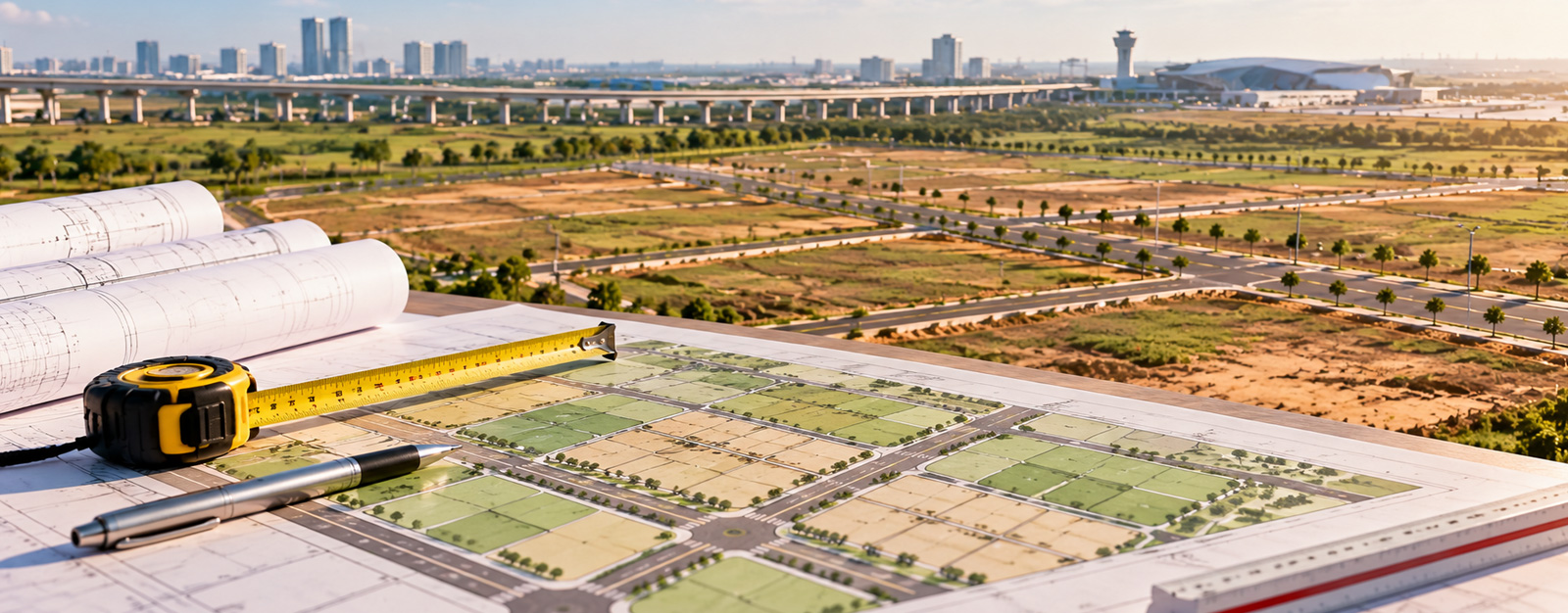
Your layout plan outlines how each unit sits within the wider survey parcel. Review the real dimensions across every edge. If a boundary is angled, verify the net usable square yardage rather than assuming rectangular symmetry.
Ensure that the project holds all relevant approvals and development permissions from the governing authority before completing sale documentation.
Reviewing Land Revenue Records
Every valid residential plot or commercial parcel originates from verified revenue land. Review public revenue records, including village form 7/12, form 8-A, and index registers.
Confirm ownership continuity, check that survey numbers align with your contract, and verify that the land remains unencumbered. Thorough title due diligence and clean document quality protect your ownership rights.
On-Site Demarcation with Surveyors
Avoid relying only on unverified corner pegs. Engage an experienced surveyor to conduct an independent boundary demarcation using digital equipment.
The surveyor references official municipal benchmarks to verify site corners against the layout map. Accurate Dholera plot measurement protects your investment from boundary disputes.
Resale Land and Due Diligence
Are there resale plots available in Dholera in various plot sizes? Yes. In recent years, early buyers have made secondary parcels available across multiple sizes.
When evaluating a resale Dholera smart city plot, conduct comprehensive checks:
- Inspect original registered sale documents from the initial allocation.
- Verify municipal tax clearances and developer maintenance receipts.
- Ensure no unreleased bank liens encumber the title.
- Confirm that the seller physically identifies demarcated corner pins on-site.
Acquiring a specific Dholera plot size in the secondary market requires verifying original allocations and examining exact documents to ensure an unbroken ownership chain.
The Buying Process for Land
What is the process to buy a parcel of a specific size in Dholera? Standard acquisitions follow clear sequential steps:
- Selection: Pick a suitable parcel dimension matching your development plans and timeline.
- Title Verification: Check land titles, revenue extracts, and sanction certificates.
- Site Check: Inspect ground accessibility, utility markers, and boundary stones.
- Agreement: Formalize allotment agreements covering schedules and specifications.
- Registration: Complete final deed registration before local sub-registrars.
Ensure all legal deeds state your dimensions in square yards as well as square feet.
Finding and Comparing Options
Where can I find a list of available plot sizes in Dholera Smart City? You can review layout options through licensed consultants, layout developers, and established property agencies. For statutory zoning maps and town planning schemes, consult official sources, updates from the Press Information Bureau, and Government of India information portals.
How do I compare plot size options in Dholera before making a purchase? Apply three objective criteria:
- Proportion: Rectangular footprints offer easier floor planning than irregular, wedge-shaped parcels.
- Utility Proximity: Measure distance to energized power grids, water lines, and operational access roads.
- Economic Hubs: Assess driving distances to the Dholera International Airport and core manufacturing zones. Growing industrial activity provides the baseline for industrial employment, which eventually supports residential occupancy.
When comparing each Dholera plot size against infrastructure access, look at road width and utility alignment first.
Sensible Planning with Mirrikh
Developing a smart city takes sustained effort. Infrastructure installations, public testing of smart utility systems, and phased building construction occur progressively over years.
At Mirrikh, we believe in realistic expectations. We verify property details, check project status, assess actual development status, and inspect ground demarcations before recommending any land investment. Reviewing your selected Dholera plot size with independent land surveys ensures long-term security.
Take your time, check your boundaries, verify title papers, and make decisions based on verifiable facts.